Green Belt misconceptions, the potential of Grey Belt redevelopment & their roles in UK housing solutions.
16 Oct 2024

Labour introduces bold planning reforms, aiming to build 1.5 million homes and address the UK’s housing crisis through streamlined processes and new policies.
11 Oct 2024

Discover how our new Land Use layer in CAD format enhances OS MasterMap® by providing detailed UK land utilisation data for a wide range of professional applications.
27 Sep 2024
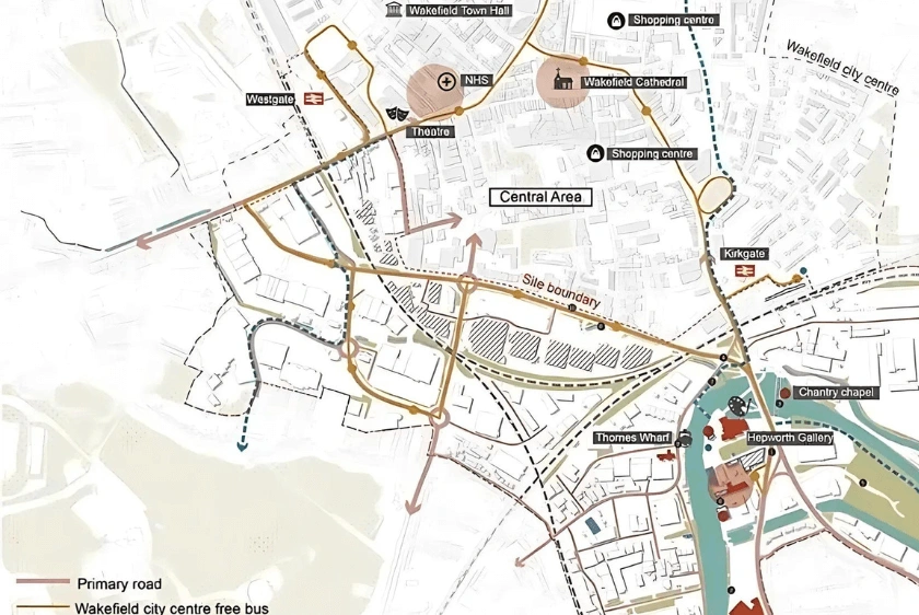
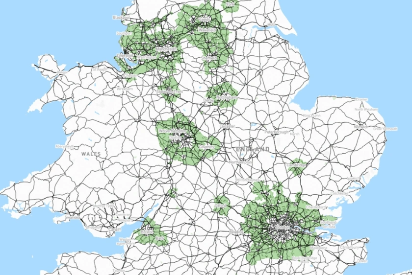
Explore how digital maps are transforming urban planning and architecture in the UK, offering smarter, more sustainable design solutions.
17 Sep 2024

UPRNs streamline property identification, benefiting urban planning, real estate, emergency services & fibre broadband infrastructure.
11 Sep 2024

Learn about swept path analysis, its importance in planning projects & how MapServe® can provide expert analysis to ensure safe and compliant designs.
04 Sep 2024
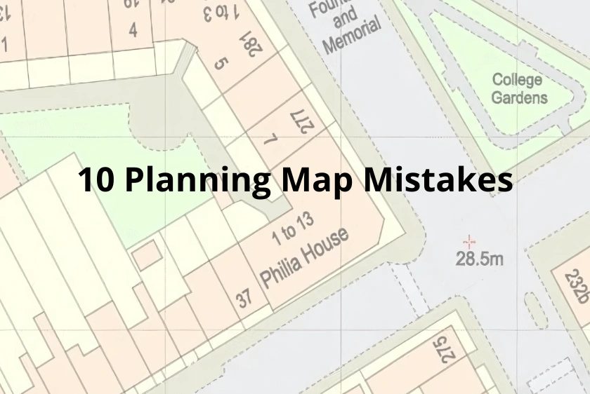
Learn how to avoid the top 10 mapping mistakes in UK planning applications using MapServe®’s high-quality maps and guidance.
29 Aug 2024

Learn how the new Field Boundary layer in OS MasterMap® enhances accuracy and detail for building, planning, architecture and surveying projects.
22 Aug 2024

9 key best practices for using CAD maps in professional settings, helping surveyors and architects ensure accuracy and compliance with industry standards.
21 Aug 2024