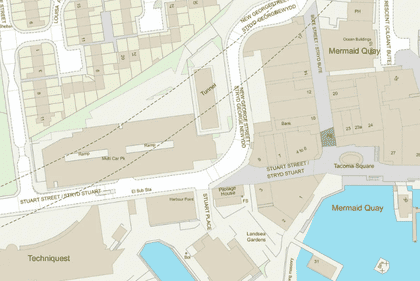
Get clear answers to the most common questions about OS MasterMap®, covering costs, accuracy, updates, and how to access data through MapServe®.
12 Mar 2025
Explore why professionals in property development, environmental consulting & other industries rely on Ordnance Survey's MasterMap® rather than free mapping alternatives for up-to-date data.
21 Nov 2024
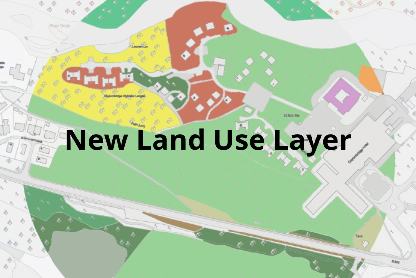
Discover how our new Land Use layer in CAD format enhances OS MasterMap® by providing detailed UK land utilisation data for a wide range of professional applications.
27 Sep 2024
Learn how the new Field Boundary layer in OS MasterMap® enhances accuracy and detail for building, planning, architecture and surveying projects.
22 Aug 2024
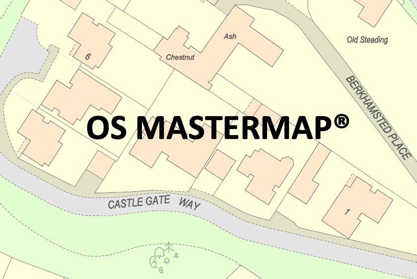
A practical guide for accessing OS MasterMap® offering step-by-step instructions for creating an account and exploring detailed Ordnance Survey maps with ease.
15 Nov 2023
The OS have recently introduced 149 new classifications of land and property into their flagship MasterMap topographic map (now part of the 'National Geographic Database' or 'NGD'.
23 Oct 2023
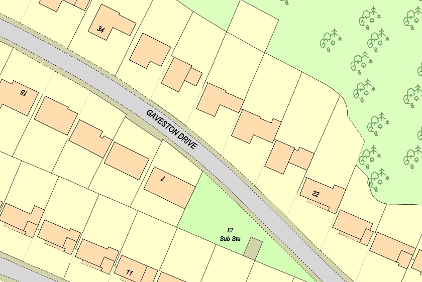
A quick guide of OS MasterMap® stating its use, scale and what it includes
13 Jan 2022

