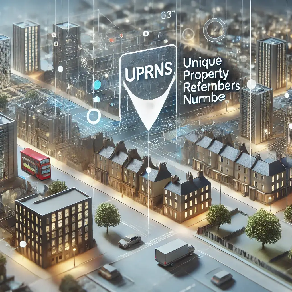
In the UK, Unique Property Reference Numbers (UPRNs) are fundamental for accurately identifying addressable locations, including residential properties, commercial buildings, and even non-addressable locations such as street furniture or car parks. These alphanumeric codes ensure that data relating to these locations is precise, reliable, and consistently linked to a unique identifier. UPRNs have become indispensable in modern data management, providing a key reference point for sectors ranging from urban planning and emergency services to fibre broadband infrastructure development.
From local authorities to utility companies, UPRNs are used across multiple sectors to streamline processes, reduce errors, and ensure better service delivery. As cities become more complex and the demands on infrastructure grow, UPRNs offer a way to manage, share, and integrate data more effectively across different systems.
In this blog, we'll explore the diverse uses of UPRNs, their benefits, and how they support a wide range of industries. We'll also discuss how UPRNs are available through MapServe® in CAD format as an additional layer to OS MasterMap®, providing essential data integration for professionals working with geographic information systems (GIS).
Download UPRNs with OS MasterMap®
Key Uses of UPRNs
1. Urban Planning and Development
UPRNs play a crucial role in urban planning and development, helping planners and local authorities accurately track individual properties and parcels of land during infrastructure projects. By providing a unique identifier, UPRNs ensure that all relevant data is tied to the correct location, regardless of changes in ownership, use, or address over time.
For example, during the planning of a new residential development, UPRNs ensure that each plot is correctly recorded from the initial planning application through to construction and final occupancy. This helps urban planners manage resources such as utilities, environmental assessments, and land use regulations efficiently. UPRNs also reduce the risk of miscommunication between departments and stakeholders by keeping property data consistent across all systems.
2. Property Management and Real Estate
UPRNs are invaluable for property managers, landlords, and estate agents. These identifiers make it easier to track individual properties throughout their lifecycle, ensuring that data such as lease agreements, energy performance certifications, and maintenance records remain accurate.
In areas with high property turnover, UPRNs ensure that records are kept in order, avoiding the confusion that can arise from changes in addresses or overlapping postcodes. For example, UPRNs help distinguish between multiple flats in the same building, ensuring that each unit is accurately identified for billing, legal, and service purposes.
In the real estate industry, UPRNs are crucial for streamlining the buying and selling process. They provide a clear, verifiable identification of each property, reducing the chances of errors or disputes when handling legal documents, financial transactions, or utility transfers. Estate agents and solicitors can be confident that the property they are dealing with is the correct one, thanks to the consistency that UPRNs provide.
3. Emergency Services
In emergency situations, every second counts. Emergency services such as the police, fire brigade, and paramedics use UPRNs to locate properties quickly and accurately. Whether it’s responding to a fire, a medical emergency, or a crime in progress, the use of UPRNs ensures that responders have access to vital property information, such as building layouts, access points, and any potential hazards.
For example, firefighters responding to a blaze in a high-rise building can use UPRNs to access detailed information about the building's structure and layout, helping them to plan their response and locate exits more efficiently. Similarly, ambulance services can use UPRNs to ensure they reach the correct address in areas where properties may have similar names or are difficult to find using standard street addresses.
4. Utilities and Fibre-Optic Infrastructure
UPRNs play an integral role in utilities management and infrastructure development. Utility companies rely on UPRNs to link properties to essential services such as gas, electricity, water, and broadband, ensuring that billing and service provision are accurate for each addressable location.
In particular, fibre-optic broadband companies depend on UPRNs to identify which properties are eligible for high-speed internet installation. By using UPRNs, fibre companies can precisely determine which homes and businesses should be connected to new fibre networks, streamlining infrastructure rollout and avoiding the common issue of misidentifying properties. This is especially critical in densely populated urban areas, where multiple properties may share a single postcode.
As fibre-optic networks continue to expand across the UK, UPRNs help ensure that broadband providers efficiently connect the right properties, improving service delivery and avoiding delays caused by incorrect data. UPRNs allow companies to focus on addressable properties that have been validated, resulting in smoother and faster installations.
5. Public Sector and Government Services
UPRNs are critical for the effective delivery of public sector services. By providing a unique identifier for every property, UPRNs help maintain accurate records for a range of services, from electoral rolls to social services and public health initiatives.
For example, during elections, UPRNs help electoral services maintain accurate voter rolls, ensuring that polling stations are correctly assigned to properties. Similarly, social services departments can use UPRNs to make sure that vulnerable individuals are receiving the support they need at their correct addresses.
UPRNs also facilitate better data sharing between government departments. When different agencies, such as housing authorities and environmental services, use the same UPRN, they can collaborate more effectively, reducing redundancies and ensuring that data is consistent across all systems.
 .
. 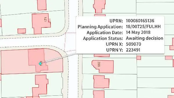
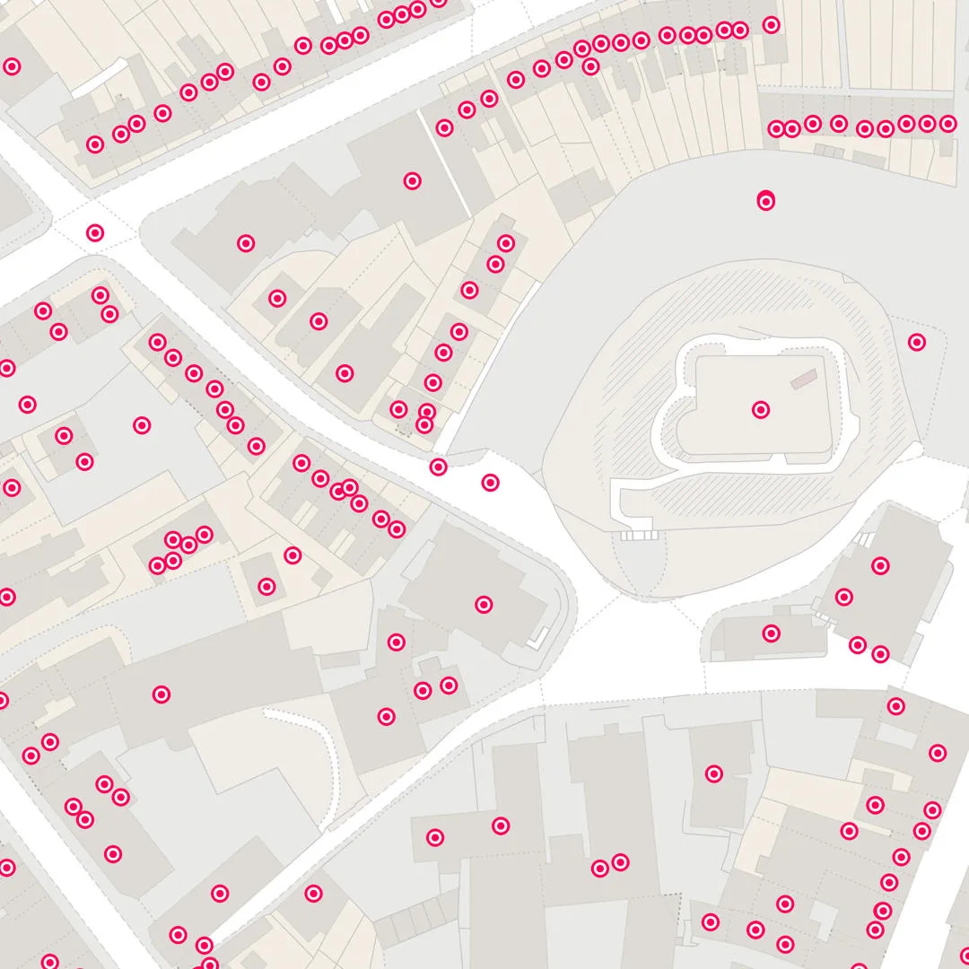
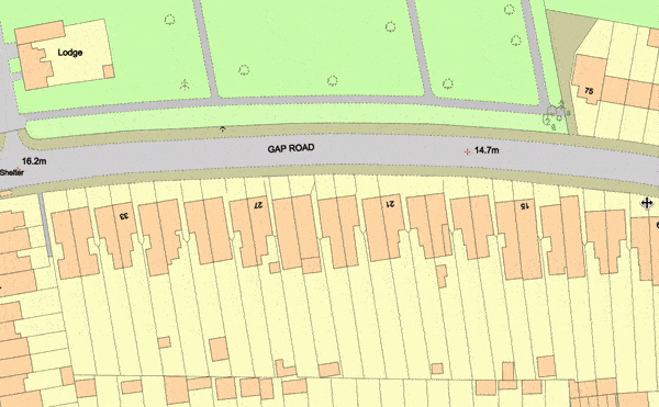
UPRN data provided through the Ordnance Survey
UPRNs Available through MapServe®
For professionals working with OS MasterMap®, UPRNs are available as an additional layer through MapServe®. This powerful integration allows users to access UPRNs in CAD format, making it easier for urban planners, architects, and engineers to incorporate property-specific data into their projects.
By layering UPRNs over OS MasterMap®, users can view detailed property information alongside other geographic data, streamlining decision-making and project planning. This is particularly useful for professionals who need to manage land parcels, plan developments, or assess infrastructure needs in a digital environment.
Accessing UPRNs in CAD format through MapServe® provides greater flexibility and precision, enabling users to integrate property identification directly into their Geographic Information Systems (GIS) or CAD software. Whether you’re designing a new development or managing existing properties, the inclusion of UPRNs ensures that your data remains accurate and reliable.
Benefits of UPRNs
1. Increased Accuracy
One of the key benefits of UPRNs is their ability to improve the accuracy of property-related data. By providing a unique identifier for each location, UPRNs prevent errors caused by overlapping postcodes, address changes, or similar-sounding property names. UPRNs help maintain consistent records across different departments and systems, ensuring that everyone is working with the same data.
2. Improved Data Integration
UPRNs facilitate better data integration and sharing between organisations. By using UPRNs as a common reference point, different entities—such as local authorities, utility companies, and emergency services—can exchange information more easily. This is particularly useful for large-scale projects, such as urban redevelopment, where multiple stakeholders need to collaborate.
3. Optimised Service Delivery
In sectors such as telecommunications and public services, UPRNs support more efficient service delivery. For example, fibre-optic providers can use UPRNs to identify which properties need broadband upgrades, ensuring that services reach the right locations. Similarly, public services can be better aligned with the needs of specific properties, ensuring that support is delivered to the correct recipients.
4. Supporting Smart Cities and Digital Transformation
As cities become smarter and more connected, UPRNs are playing an increasingly important role in linking physical infrastructure with digital systems. UPRNs act as a bridge between the digital and physical world, providing precise location data for smart city applications, such as traffic management, energy monitoring, and public safety initiatives.
Unique Property Reference Numbers (UPRNs) are essential for accurate property identification, supporting a wide range of industries, including urban planning, real estate, fibre broadband companies, and public sector services. With their wide-ranging applications, UPRNs help improve data accuracy, facilitate better data sharing, and optimise service delivery, making them indispensable in modern data management.
For professionals working with OS MasterMap®, accessing UPRNs through MapServe® in CAD format provides an additional layer of precision and flexibility, ensuring that your projects are built on reliable data.