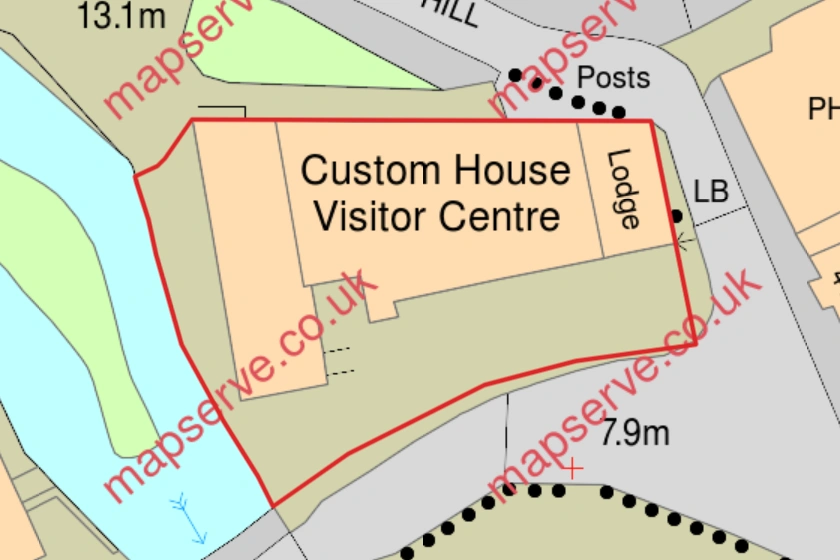
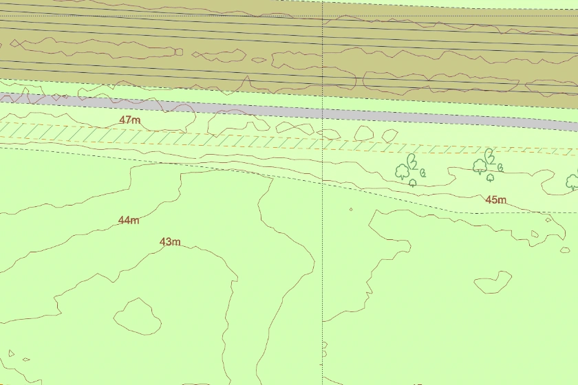
How to partly and auto-outline a feature like a property or a property boundary.
21 Apr 2021
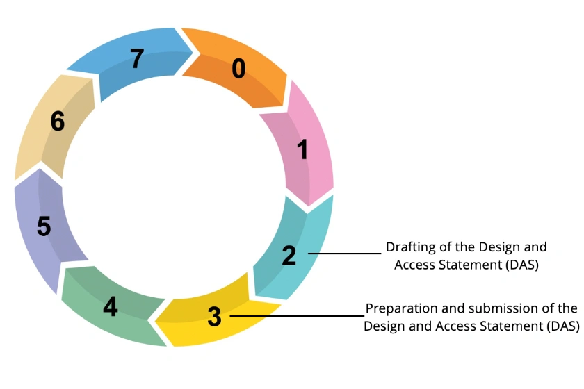
Everything you need to know about a Design and Access Statement (DAS)
10 Mar 2021
A selection of our most recent customer reviews of MapServe® reviews
23 Feb 2021
Maps are essential in many stages when designing a project. Here are 13 examples of how mapping can be used.
19 Feb 2021
The importance of using GIS data in Urban Planning.
26 Jan 2021
Mapping in Architecture - How Mapping Becomes a Critical Tool for Spatial Research and Visualisation
Mapping is becoming essential in the building industry in order to visualise data and information collected from sites and cities to impart design knowledge and share information to clients.
14 Jan 2021
An quick introduction to MapServe® for customers with a professional invoiced account.
13 Jan 2021
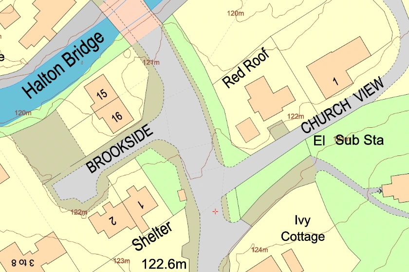
An accurate representation of the topography of the land and covers over 60% of England, Wales and a section of Scotland.
13 Jan 2021
