
Find out about the latest planning information available including application submission numbers, fee changes and government schemes.
24 Sep 2021

How historical mapping is used in a variety of building professionals and the solutions old mapping provides to their work challenges.
21 Sep 2021
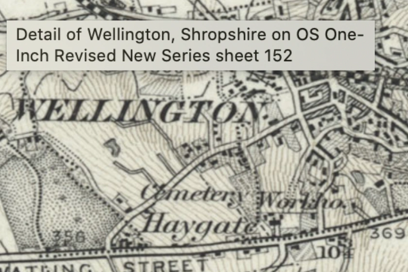
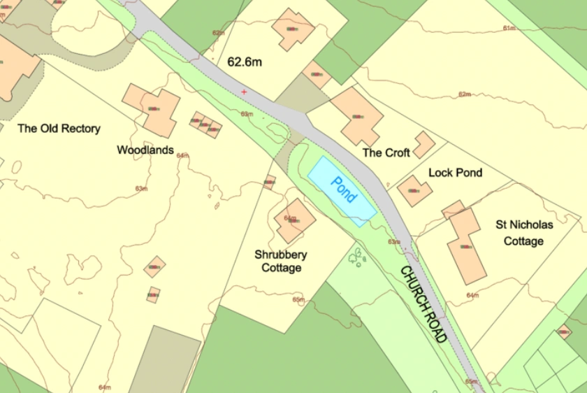
We are happy to announce the launch of Historic mapping on MapServe®. Get important historical overview of your site by browsing our range of old mapping.
06 Sep 2021

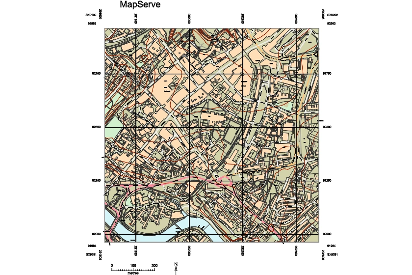
Easily access CAD maps of the 50 largest cities in the UK.
28 Jul 2021

Colour Key and Symbols of MasterMap®
07 Jul 2021

Everything you need to know about writing a Heritage Statement
05 Jul 2021
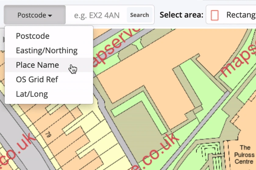
Our new search option on MapServe® has launched. In addition to the options that already exist you can now search for your area or property using the name of the area.
12 May 2021