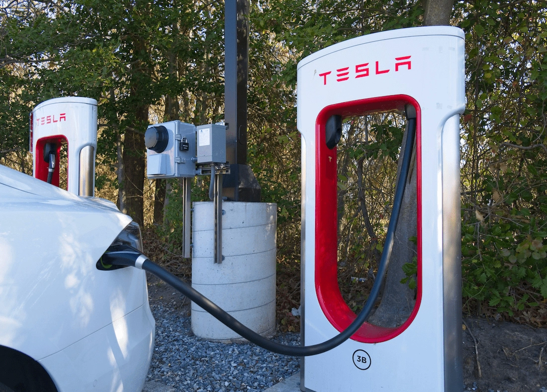
As the UK accelerates its transition towards a greener future, the electric car revolution is at the forefront of this transformation. With the 2030 ban on the sale of new petrol and diesel cars looming, the focus on building a robust and efficient electric vehicle (EV) charging network has never been more critical. Digital mapping technology is emerging as a cornerstone in the planning and implementation of this infrastructure, offering innovative solutions to complex logistical, environmental and social challenges.

Understanding the EV Charging Infrastructure Challenge
The UK’s journey towards widespread EV adoption presents a monumental task: establishing a comprehensive network of charging stations that cater to a growing fleet of electric vehicles. As of 2025, the country is home to over 800,000 registered EVs and this number is expected to grow exponentially in the coming years. However, concerns around “range anxiety”—the fear of running out of charge without access to a nearby charging point—remain a significant barrier to adoption for many prospective EV owners.
The current charging infrastructure, though expanding, is unevenly distributed. Urban areas often have greater access to charging stations, while rural and remote regions lag behind. Moreover, the variability in charging speeds—ranging from standard home chargers to ultra-rapid public chargers—adds another layer of complexity. To address these disparities and create a seamless user experience, strategic planning is crucial and this is where digital mapping comes into play.
The Power of Digital Mapping
Digital mapping technology provides a powerful tool for visualising, analysing and optimising the placement of EV charging stations. By leveraging Geographic Information Systems (GIS) and real-time data analytics, planners can identify optimal locations for chargers based on a multitude of factors, including:
-
Traffic Patterns: Analysing traffic flow data helps identify areas with high vehicle density, ensuring charging points are placed where demand is greatest.
-
Demographic Insights: Understanding the demographics of an area, such as income levels and EV ownership rates, can guide decisions about the type of chargers needed.
-
Energy Grid Capacity: Mapping grid infrastructure highlights locations where additional chargers can be installed without overloading the system.
-
Environmental Considerations: Digital mapping helps avoid sensitive ecological zones, ensuring that new infrastructure aligns with sustainability goals.
Case Studies in Action
One notable example of digital mapping in action is Transport for London’s (TfL) approach to expanding the city’s charging network. TfL utilises GIS to analyse data on road usage, existing charging points and future EV adoption rates. This approach has enabled the targeted deployment of rapid charging hubs in high-demand areas, reducing congestion and supporting commercial fleets transitioning to electric power.
In rural areas, innovative projects are also leveraging digital mapping. For instance, a pilot scheme in Cumbria uses mapping tools to identify underserved regions and assess the feasibility of installing community charging points. These initiatives ensure that EV adoption is not limited to urban centres, bridging the gap between city and countryside.
Overcoming Barriers
Despite its potential, the integration of digital mapping into charging infrastructure planning is not without challenges. Data quality and availability remain significant hurdles. Accurate and up-to-date information is essential for effective mapping, but inconsistencies in data collection across local authorities can impede progress.
Furthermore, there is a need for greater collaboration between stakeholders, including government bodies, private charging providers and energy companies. Digital mapping tools thrive on interconnected data systems and siloed approaches can limit their effectiveness. The creation of a national EV infrastructure database, as advocated by several industry groups, could streamline this process and enhance the utility of digital mapping.
The Role of the Private Sector
Private companies are also playing a vital role in advancing digital mapping for EV infrastructure. Firms like Zap-Map and Pod Point are using sophisticated mapping algorithms to provide real-time information on charger locations, availability and pricing. These platforms empower consumers to make informed decisions and highlight areas where additional infrastructure is needed.
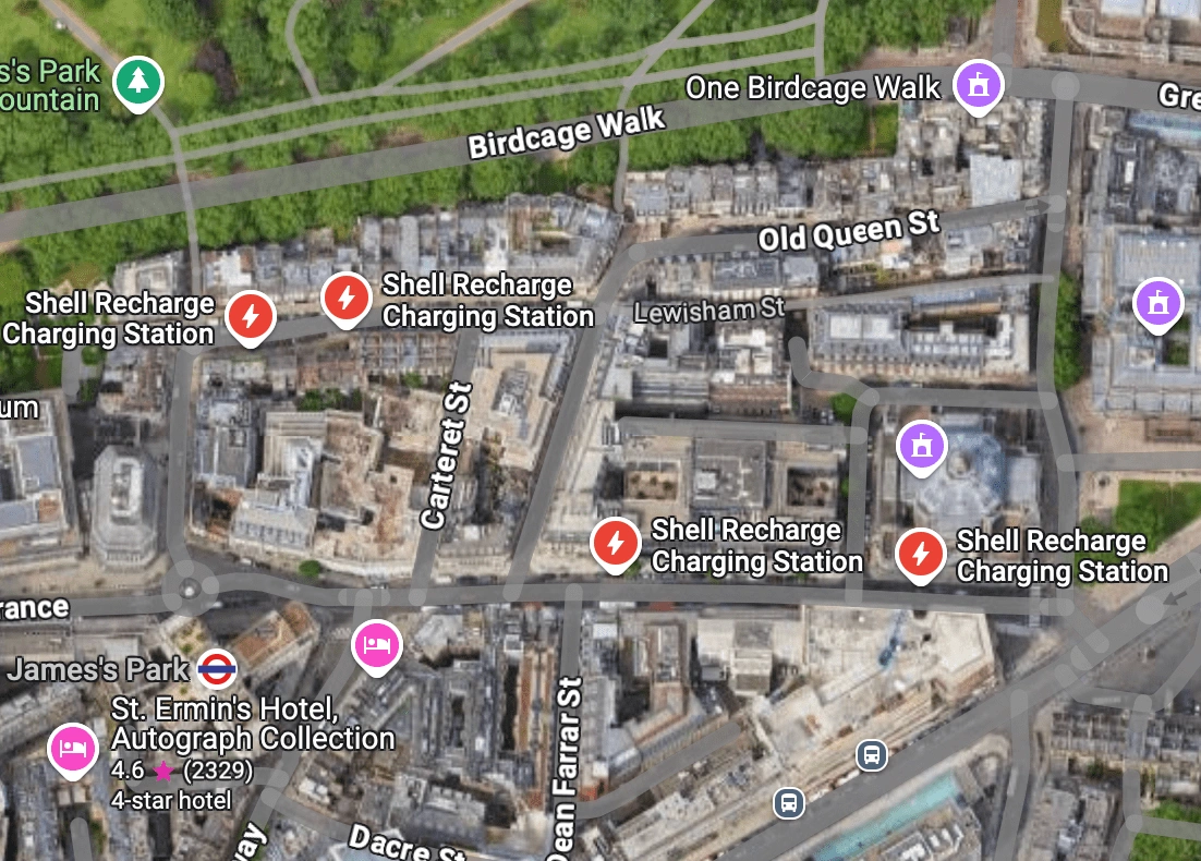
In addition, tech giants such as Google and Apple are integrating EV-specific features into their mapping services. For example, Google Maps now offers EV charging station locators, complete with reviews and charging speeds, making it easier for drivers to plan their journeys. These developments not only enhance user experience but also generate valuable data that can inform future planning efforts.
Google maps sample showing EV charging points for electric vehicles
Emerging Technologies Enhancing Digital Mapping
The next wave of digital mapping innovation is set to be driven by artificial intelligence (AI) and machine learning (ML). These technologies can process vast datasets to identify patterns and predict future demand for EV infrastructure. For example, AI-driven predictive modelling can forecast the growth of EV adoption in specific regions, enabling planners to proactively deploy charging stations in anticipation of rising demand. This ensures that infrastructure keeps pace with technological and consumer trends, reducing the risk of underutilised or overcrowded facilities.
Moreover, integrating 3D mapping and augmented reality (AR) tools into infrastructure planning could offer immersive visualisations of proposed charging locations. These technologies allow stakeholders to evaluate site feasibility and design with greater precision, improving decision-making processes and reducing costly errors.
Driving Towards a Greener Future
The UK government has set ambitious targets for EV adoption, including the installation of 300,000 public chargers by 2030. Achieving this goal will require a coordinated effort between public and private sectors, underpinned by cutting-edge technology like digital mapping. By providing a data-driven foundation for decision-making, digital mapping ensures that charging infrastructure is deployed efficiently, equitably and sustainably.
Looking ahead, advancements in technology are likely to further enhance the role of digital mapping. Emerging tools such as artificial intelligence (AI) and machine learning (ML) could enable predictive modelling, allowing planners to anticipate future demand and adapt infrastructure plans accordingly. Additionally, the integration of 3D mapping and augmented reality (AR) could provide more immersive and detailed visualisations, aiding stakeholders in making informed decisions.
As the UK heralds its electric car revolution, the importance of a well-planned charging network cannot be overstated. Digital mapping offers a transformative approach to tackling the challenges of infrastructure planning, combining data-driven insights with innovative technology. By embracing these tools and fostering collaboration across sectors, the UK can build a charging network that not only meets the needs of today’s EV drivers but also lays the foundation for a sustainable future.
The road ahead is undoubtedly complex, but with digital mapping as a guide, the destination, which is a greener, cleaner transport landscape, is well within reach.

