The UK is arguably facing a housing crisis, with an urgent need for more affordable and sustainable homes to meet the growing demand. Housing associations, as key players in providing affordable housing, are tasked with balancing the challenges of land acquisition, development and compliance with government policies. Accurate digital mapping has become an invaluable tool in addressing these challenges, offering solutions that help housing associations optimise land use, reduce costs and deliver projects efficiently.
Access the latest OS digital mapping
The Housing Crisis in the UK
The UK government has set ambitious targets to address the housing shortage, including the delivery of 300,000 new homes annually by the mid-2020s. Housing associations play a vital role in this strategy, particularly in delivering affordable homes for low- and middle-income households. However, barriers such as limited land availability, high development costs and regulatory requirements can hinder progress.
In recent years, policy discussions have emphasised the need for more efficient land use and innovative approaches to housing development. Accurate digital mapping is one such innovation, empowering housing associations with the data they need to make informed decisions, comply with planning regulations and optimise their resources.

What Is Accurate Digital Mapping?
Accurate digital mapping involves the use of advanced technologies such as Geographic Information Systems (GIS), LiDAR (Light Detection and Ranging) and satellite imagery to create detailed and precise representations of land. These maps provide essential data on topography, property boundaries, land use, infrastructure and environmental conditions.
Key features of accurate digital mapping include:
-
Detailed Topography: Understanding elevation and terrain to identify suitable sites for development.
-
Land Boundaries: Clearly defined property lines to avoid legal disputes.
-
Flood Risk Assessment: Identifying areas prone to flooding to ensure sustainable development.
-
Infrastructure Mapping: Locating utilities and transport links to assess site feasibility.
By integrating these datasets, housing associations can improve the efficiency and effectiveness of their projects.
Benefits of Accurate Digital Mapping for Housing Associations
Accurate digital mapping offers housing associations a range of benefits, helping them navigate the complexities of land development while contributing to the UK’s affordable housing goals. Here are some of the key advantages:
1. Identifying Suitable Land for Development
Finding the right land for affordable housing projects is a significant challenge. Accurate digital mapping provides detailed insights into land availability and suitability, enabling housing associations to:
-
Identify undeveloped or underutilised land that meets planning requirements.
-
Assess site constraints, such as steep terrain or flood risks, early in the decision-making process.
-
Avoid costly mistakes by ruling out unsuitable locations before committing resources.
For example, housing associations can use tools like 1m contour maps from providers such as MapServe® to evaluate terrain and determine the feasibility of a site for housing developments.
2. Streamlining the Planning Process
Navigating the planning process can be time-consuming and complex. Accurate digital mapping simplifies this process by providing housing associations with the data needed to:
-
Ensure compliance with local and national planning regulations.
-
Prepare comprehensive planning applications supported by precise maps and data.
-
Engage effectively with local authorities and stakeholders, using visual representations of proposed developments to facilitate discussions.
3. Optimising Land Use
Efficient use of land is essential to maximise the impact of affordable housing projects. Accurate mapping tools help housing associations:
-
Plan developments that make the best use of available space while preserving green areas and meeting density targets.
-
Design layouts that incorporate sustainable drainage systems (SuDS) to mitigate flood risks and enhance environmental sustainability.
-
Account for infrastructure needs, such as roads, utilities and public transport access, in their site designs.
4. Reducing Costs and Improving Efficiency
Accurate digital mapping reduces costs by minimising risks and improving project efficiency. Housing associations can avoid unexpected expenses related to:
-
Legal disputes over property boundaries.
-
Site remediation due to unforeseen environmental conditions.
-
Redesigns caused by inaccurate or incomplete data during the planning stage.
By investing in high-quality mapping solutions, housing associations can allocate their budgets more effectively and ensure projects are delivered on time and within budget.
5. Enhancing Resilience to Climate Change
With climate change increasing the frequency of extreme weather events, housing associations must consider the long-term resilience of their developments. Accurate digital mapping supports this goal by:
-
Identifying flood-prone areas and incorporating flood mitigation measures into designs.
-
Ensuring developments are located away from high-risk zones.
-
Supporting compliance with environmental regulations aimed at reducing carbon footprints.

Relevant News and Policy Developments
In recent years, the UK government has introduced policies aimed at addressing the housing crisis and promoting sustainable development. For example:
-
The Affordable Homes Programme (2021-2026) provides £11.5 billion to deliver 180,000 new affordable homes, with an emphasis on sustainability and innovative construction methods.
-
The Environment Agency’s emphasis on flood risk assessments has made tools like accurate digital mapping essential for compliance.
In the news, such as the impact of Storm Babet back in 2023 and ongoing flood risks in areas like South Yorkshire, underscores the importance of mapping technologies in ensuring housing developments are resilient to climate challenges.
Digital Mapping Tools for Housing Associations
Providers like MapServe® offer a range of mapping tools that cater specifically to the needs of housing associations. These include:
-
1m Contour Maps: Ideal for assessing terrain and planning site layouts.
-
Flood Risk Maps: Crucial for identifying and mitigating flood risks.
-
Land Ownership Data: Enables housing associations to identify landowners and negotiate acquisitions.
-
Ordnance Survey's MasterMap®: Provides detailed topographic information for planning and compliance.
These tools are available in digital formats, such as DWG and DXF files, ensuring seamless integration with architectural and planning software.
Choosing the Right Mapping Solution
When selecting mapping tools, housing associations should consider:
-
Data Accuracy: High-resolution maps ensure precise analysis and decision-making.
-
Ease of Use: Platforms like MapServe® provide instant access to maps and datasets, improving workflow efficiency.
-
Customisation: The ability to tailor maps to specific project needs enhances their utility.
-
Cost-Effectiveness: Affordable mapping solutions enable housing associations to manage budgets efficiently.
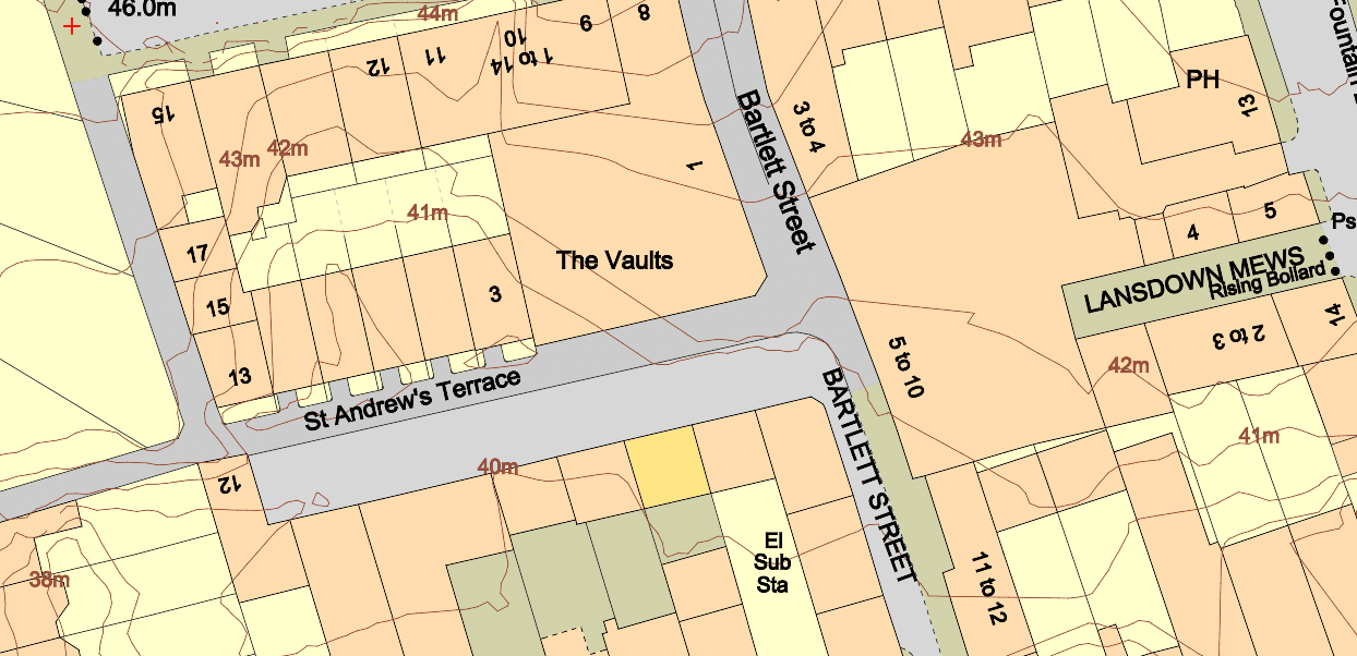
Ordnance Survey's MasterMap® including 1m contours
Building a Sustainable Future
As the UK grapples with the housing crisis, housing associations have a crucial role to play in delivering affordable and sustainable homes. Accurate digital mapping empowers these organisations to navigate the complexities of land development, optimise resources and ensure compliance with regulations.
By leveraging advanced mapping technologies, housing associations can identify opportunities, mitigate risks and deliver projects that address both immediate housing needs and long-term sustainability goals. In doing so, they contribute to creating resilient communities and alleviating the housing crisis, one project at a time.