What is OS MasterMap®?
OS MasterMap® is a large-scale map that depicts both man-made and natural phenomena. It is the mapping that is used for planning applications and land registration.
View and download the latest update of OS MasterMap® here
You may view and print OS MasterMap® in colour through our website. We offer free previews and the possibility to select very large sites to view and purchase. We also offer the possibility to add additional layers such as:
What is the scale of OS MasterMap®?
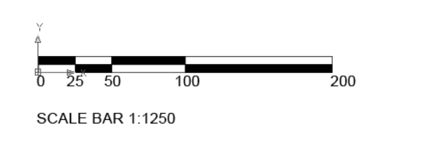
For cartographic representation, the OS MasterMap® Topography Layer is recorded and presented at 1:1250, 1:2500, and 1:10 000 scales in urban, country, and mountain/moorland areas, respectively.
What's represented on OS MasterMap®?
OS MasterMap® gives accurate and up-to-date information for each element on the map, which is divided into nine themes, which include:
- Administrative Boundaries
- Buildings
- Heritage and antiquities
- Land data
- Rail
- Roads, tracks & footpaths
- Structures
- Terrain and height information
- Water


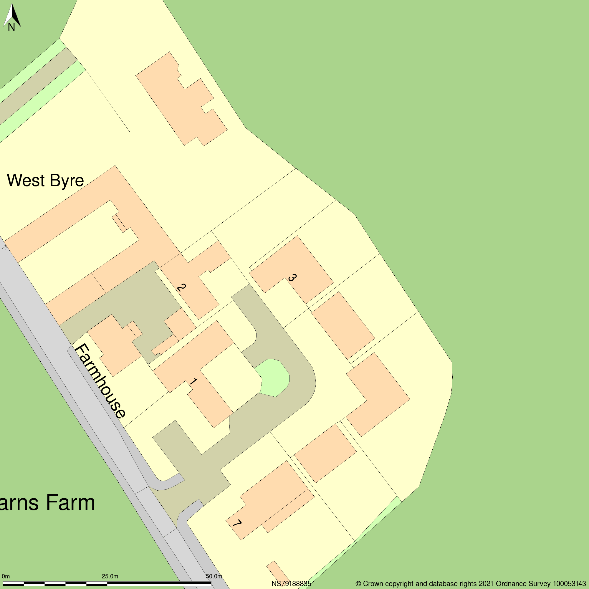
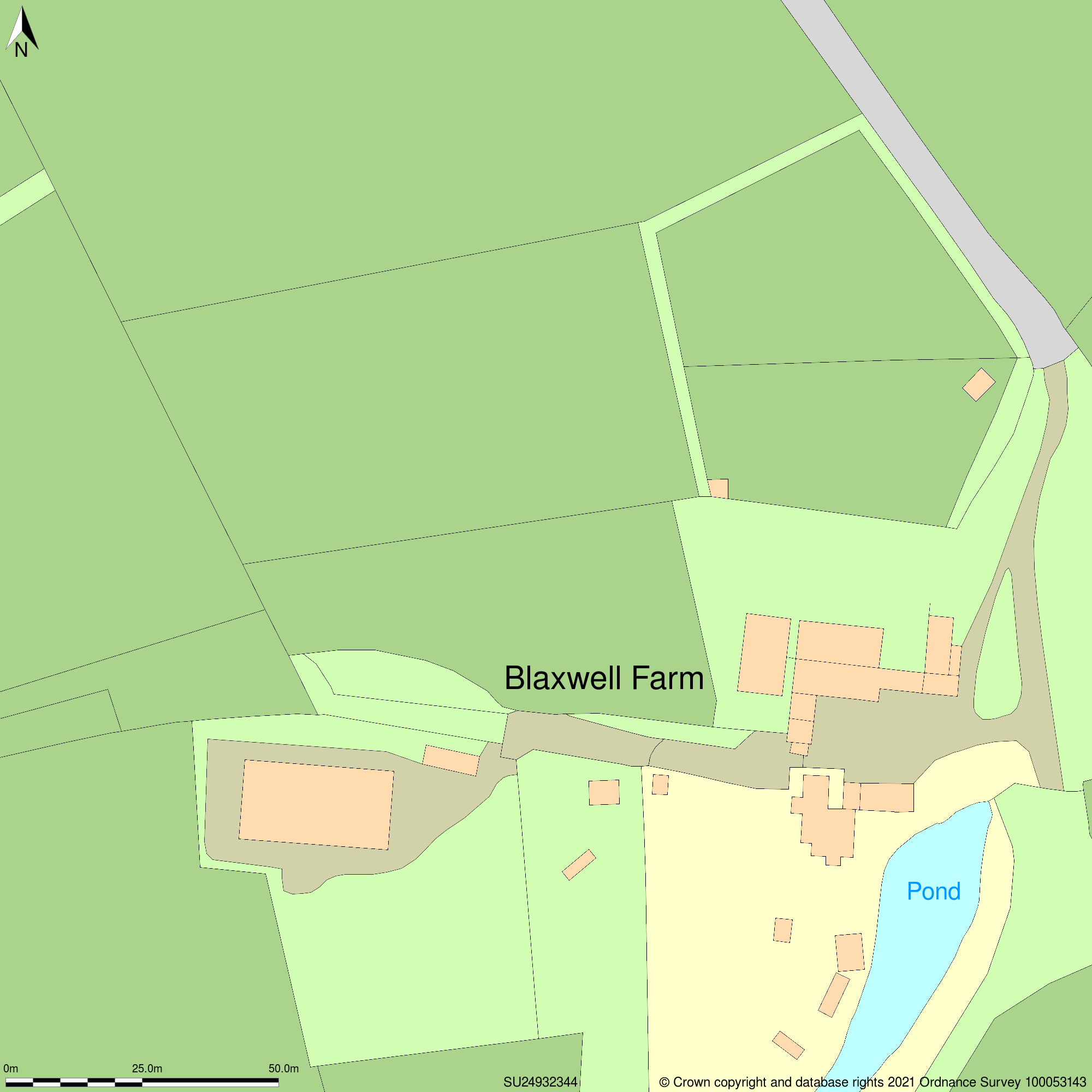
1:1250 scale OS MasterMap®, 2 hectares 1:1250 scale OS MasterMap®, 4 hectares
Where can I use OS MasterMap®?
- Use in CAD or GIS design
- Evaluation and placement of the site
- Planning applications
- Management of risks
- Infrastructure and transportation
- Asset administration
- Environmental investigation
- Tourism
General Information
- Supplier: Ordnance Survey
- Update Cycle: every 6 weeks
- Coverage: Great Britain
- Scale: default scale is 1:1250 but it can be changed to 1:200 - 1:50000
- Available formats: DWG, DXF, PDF, PNG, GML
- Urban Accuracy: +/- 1m
- Rural Accuracy: +/- 8m
- General Accuracy: +/- 8m
- Licence: 1 year with possibility to extend
- Delivery: digital format, within a few minutes
