A brief introduction to licencing basics and crucial considerations for making the best use of Ordnance Survey mapping.
14 Dec 2023
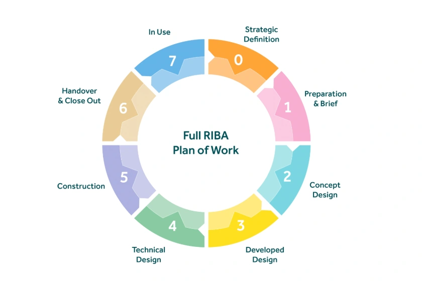
How maps are used at every stage of the RIBA Plan of Works, aiding in design formulation, local authorities' submissions, and the preparation of reports on site safety, sustainability, and maintenance.
13 Dec 2023
With limited resources, urban planning must prioritise community needs, implement sustainable practices, and nurture human connections.
11 Dec 2023
A case study showcasing how MapServe® supported a Welsh architect in the development of site plans & feasibility studies.
27 Nov 2023
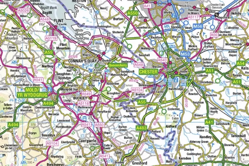
OS map types are available to preview for free through the Ordnance Survey website, MapServe® and more sources.
23 Nov 2023
A case study exploring how MapServe® assisted an architect in creating feasibility studies & initial site analysis.
23 Nov 2023
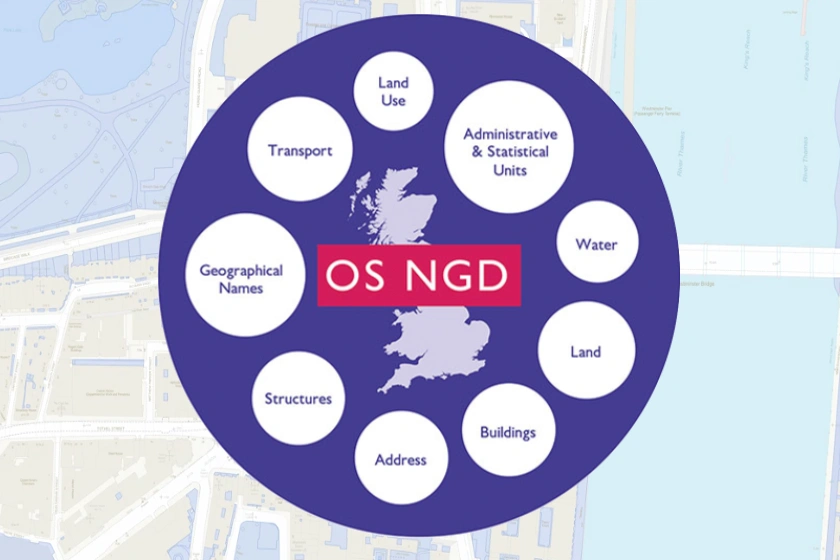
OS NGD is a frequently updated geographic database accessible via the OS Data Hub that aids in risk assessment, urban planning, and sustainability activities across multiple industries.
17 Nov 2023
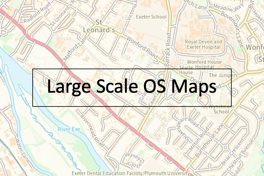
Discover the seamless process of ordering large-scale OS maps in this blog post, guiding you through the steps to obtain detailed and accurate maps for your specific needs.
16 Nov 2023
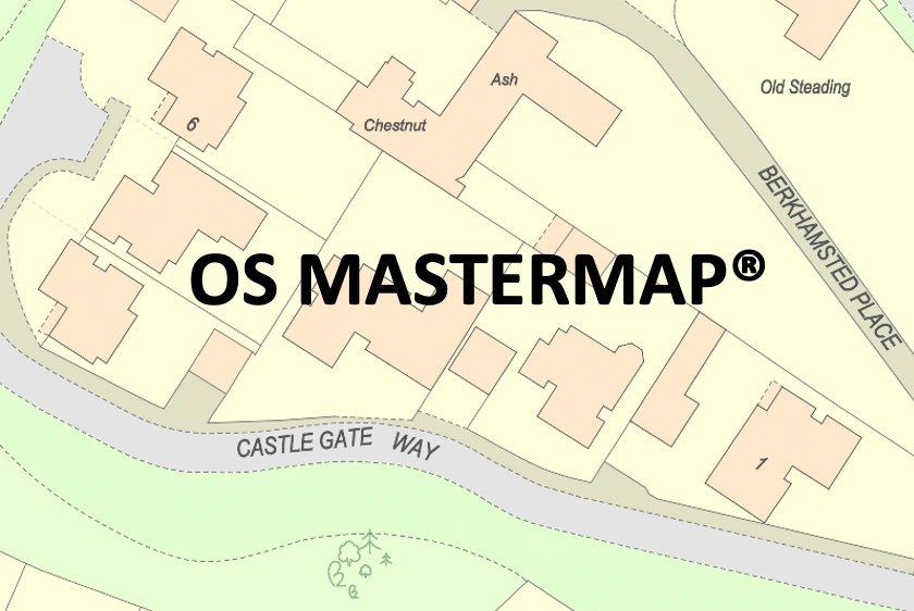
A practical guide for accessing OS MasterMap® offering step-by-step instructions for creating an account and exploring detailed Ordnance Survey maps with ease.
15 Nov 2023

