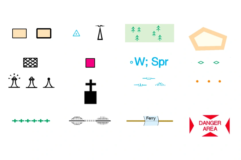
Most countries have a national mapping agency that the government runs like the Ordnance Survey (OS) for the United Kingdom.
27 Jan 2023
How an architect saved over £1500 and 3 weeks on a project using our 3D MasterMap®.
18 Jan 2023
6 ways to use mapping other than planning applications and architectural drawings.
06 Jan 2023
Many services and products are commonly used by architects, and the top 5 can vary depending on the specific needs and preferences of the architect.
06 Jan 2023
A list of different professionals that buy CAD maps including architects, surveyors and planners.
06 Jan 2023
OS maps have been around for 225 years and are used everyday by land and property professionals to walkers and tourists.
06 Jan 2023
OS MasterMap® is the most up-to-date and detailed map of the United Kingdom supplied by the OS.
30 Aug 2022
OS MasterMap® Topography layer is typically updated every 6 weeks.
30 Aug 2022


