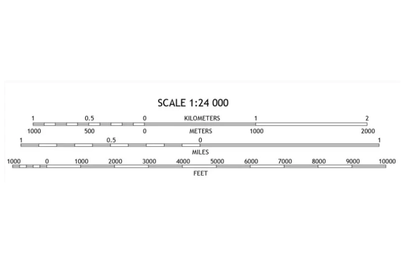
The three types of map scales, how to read them and why they are so important.
07 Jan 2022
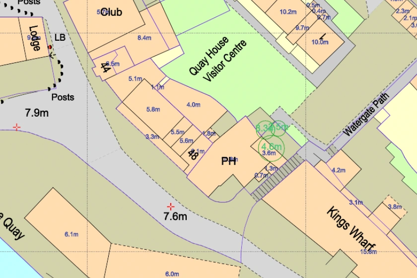
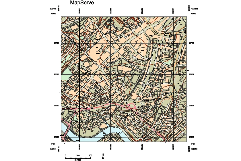
The Ordnance Survey is Britain's national mapping company. It conducts official surveying in the UK, providing the most precise and up-to-date geospatial information.
06 Jan 2022
OS Mapping that is available for free with links, explanation and samples.
17 Dec 2021

Find out how easy it is to get your planning application granted in England, common mistakes applicants make & how to increase your chances.
09 Nov 2021
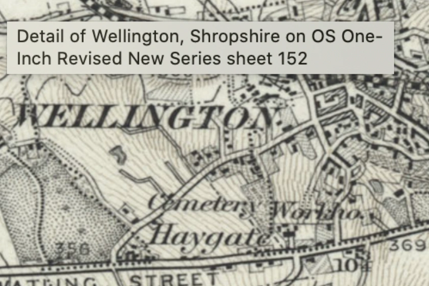
We are happy to announce the launch of Historic mapping on MapServe®. Get important historical overview of your site by browsing our range of old mapping.
06 Sep 2021
Easily access CAD maps of the 50 largest cities in the UK.
28 Jul 2021

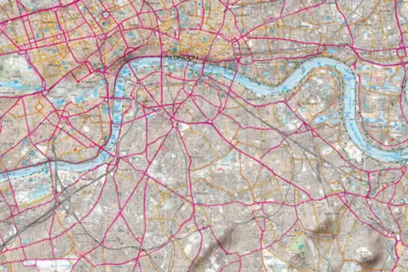
We offer highly detailed CAD maps of London and the rest of the UK in DXF & DWG for presentation & design use with key layers.
13 Jan 2021

Support on how to open and view DWG and DXF files on CAD software.
11 Jan 2021