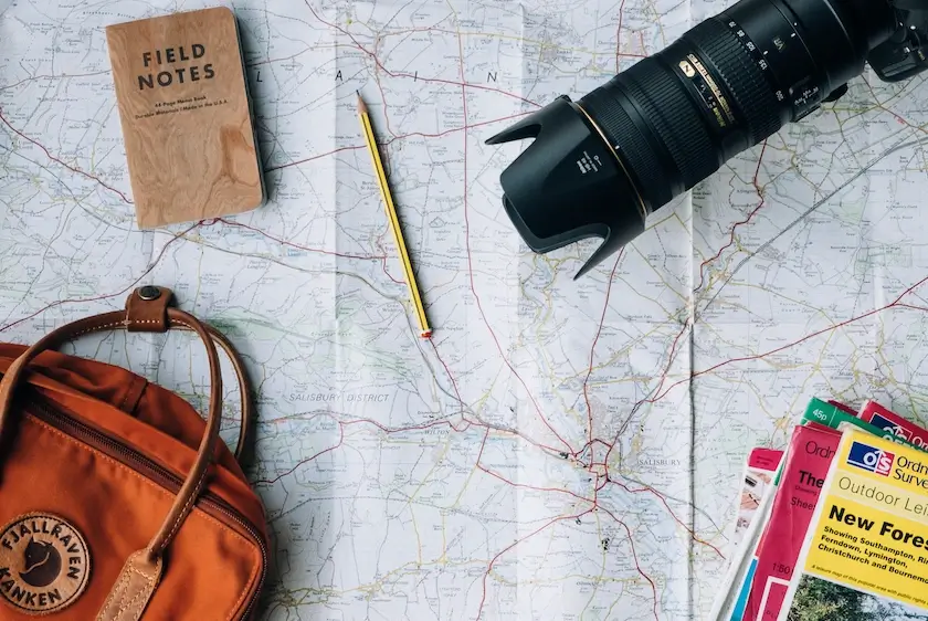
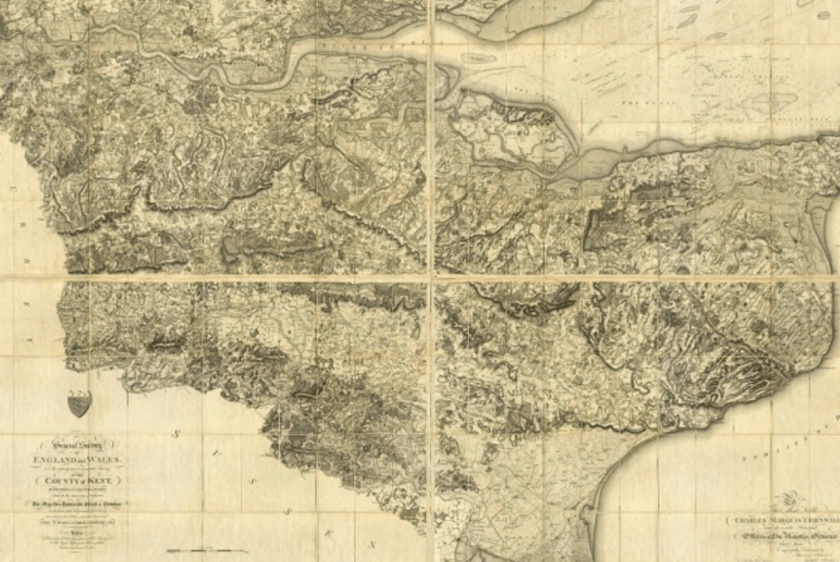
OS maps are specifically created by the Ordnance Survey, Great Britain's official national organisation.
08 Feb 2023
A step-by-step tutorial to selecting, downloading, and viewing Ordnance Survey mapping.
06 Feb 2023
Ordnance Survey (OS) maps are widely used across the UK by businesses and individuals alike.
27 Jan 2023
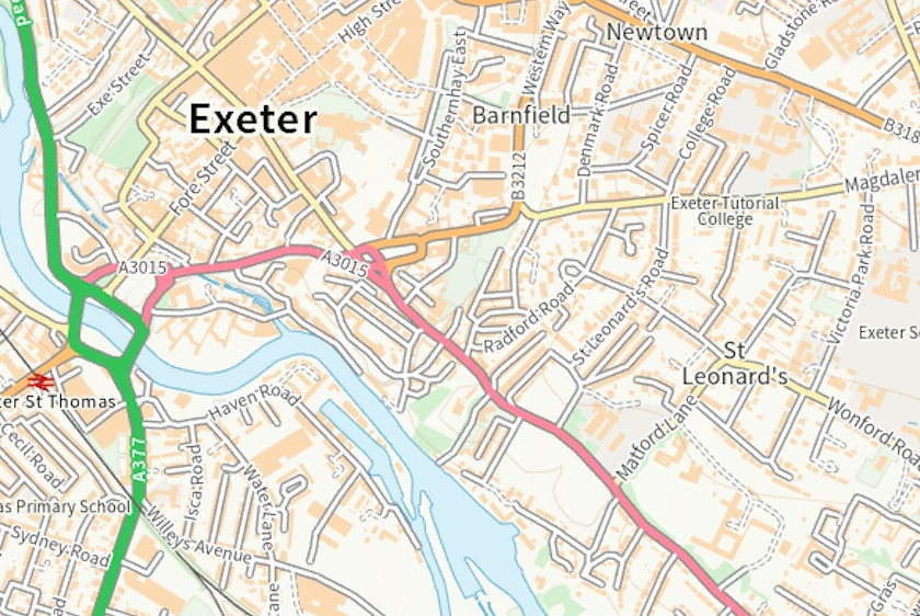
Most countries have a national mapping agency that the government runs like the Ordnance Survey (OS) for the United Kingdom.
27 Jan 2023
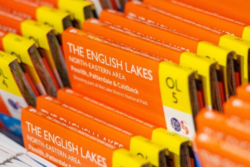
OS maps have been around for 225 years and are used everyday by land and property professionals to walkers and tourists.
06 Jan 2023
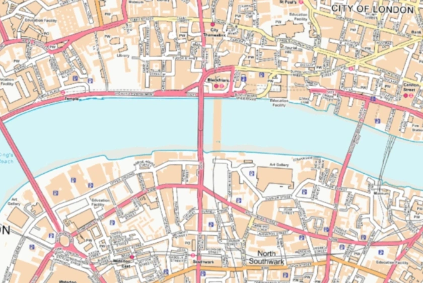
OS MasterMap® is the most up-to-date and detailed map of the United Kingdom supplied by the OS.
30 Aug 2022
OS MasterMap® Topography layer is typically updated every 6 weeks.
30 Aug 2022
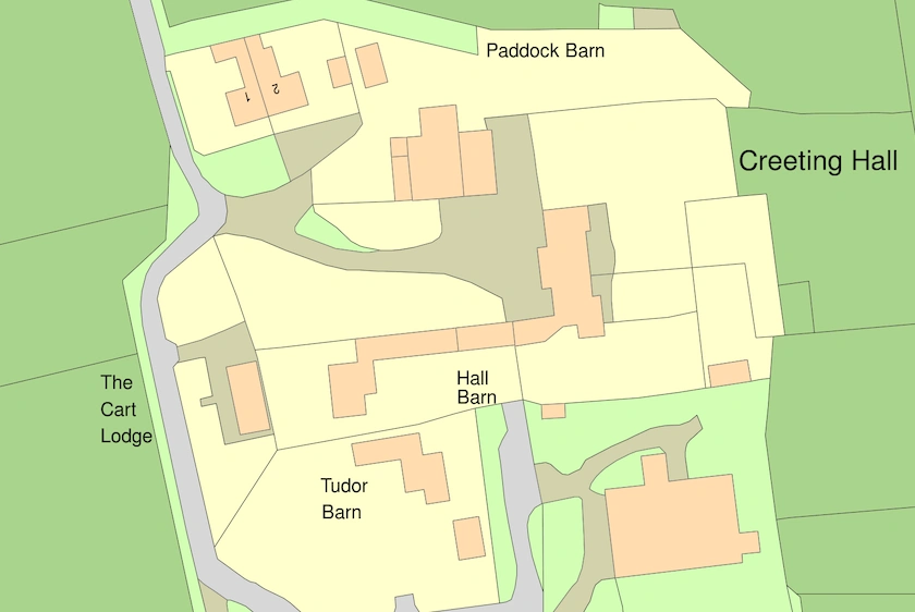
Find out why planning maps provided by the Ordnance Survey are the best and how you can order them quickly.
13 Jan 2022
