When it comes to designing a building, a design team must rely on information and data to deliver a project. This starts from the initial fee proposal, through planning then onto construction and occupation. As architects and designers, we tend to have to navigate this from the start, therefore information from various datasets becomes the compass to explore and begin the design process. Here are 5 useful datasets that can be easily accessed online and lay a foundation of data before an on-site survey is conducted.
View and download detailed maps of Great Britain here
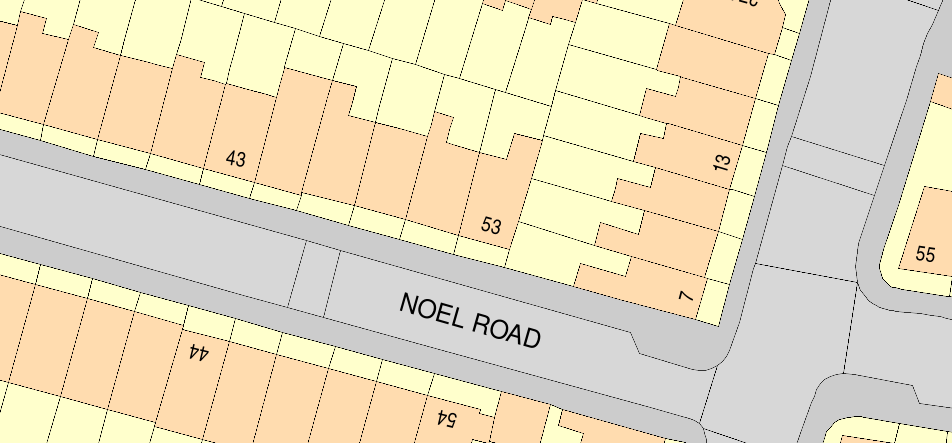
1. Site Boundaries
By obtaining this information prior to a survey, you can understand the potential scope of work and site constraints. For example are party wall certificates necessary? Are any covenants on the plot allowing neighbours site access? Perhaps the client is unaware of the plots extent? This data will also provide a drawing base to conduct the survey and give you a sense of scale. To obtain this data look for a trusted OS provider that can provide CAD plans such as MapServe®, but the Planning Portal also recommends BuyaPlan® and Streetwise amongst others. Information such as covenants on properties can be confirmed by the land registry, just ensure you acquire this from the official HM Land Registry.
2. Aerial Imagery
A great way to illuminate a site prior to a survey is to take advantage of easily available aerial imagery. Whilst the majority of this data is only available in plan view, additional information can be obtained from Bing who provides a “birds-eye” perspective view from above whilst Google Earth and Apple Maps have navigable 3d buildings and topography in certain locations. This photographic data will give you a visual sense of the space, an understanding of the local land use, access conditions and flag up any potential biodiversity issues.

3. Biodiversity
The most common biodiversity aspects are from trees, in particular Tree Protection Orders (TPO’s) that will need to be addressed in an Arboriculture statement for planners and can impact the design and construction. These trees are also homes for wildlife that doesn’t obey property boundaries, so consider your site's proximity to nearby potential nesting areas for birds, bats, and other animals. Local authorities will typically provide guidelines on such matters and don’t assume urban sites are exempt.

4. Environmental and Conservation Designation
With climate change bringing wilder weather, protection from flooding is only going to be more widespread, knowing if your site is affected can easily be assessed by the governments Flood Map. For other constraints, DEFRA’s Magic Map will display what environmental and conservation zones affect your site.
5. Planning Portal
The digitised planning portal is a valuable open source of data that can help you understand the site and its neighbours, giving an insight into the site’s planning history and any special constraints that may apply, typically going back to 1990. Precedent is an important factor in receiving consent so understanding what planners do and do not approve of can be valuable in informing your design. However, consider changes in legislation, meaning older planning applications could be subject to different rules than what is relevant today.