When initiating a project, OS maps and Land Registry plans are useful sources to establish the site elements and boundaries.
Download CAD maps that include building heights here
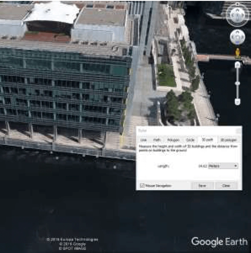
In the age of BIM and 3D software, three dimensional site context are also useful. This can be achieved through site photos or even Google StreetView by manually counting brick coursing, using educated guesses on floor-to-floor heights, etc. Google Earth is now free and can be used to measure the heights of buildings (see Figure 1).
Building height data can then be used to help build three dimensional buildings using massing tools of the relevant software, such as Revit. However, this can be time consuming.
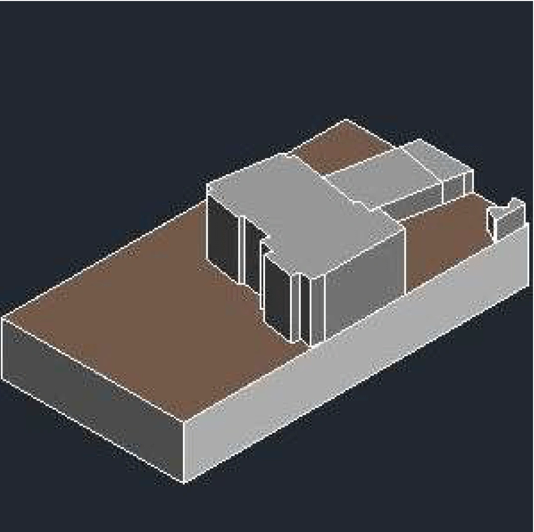
One of the easiest method of dropping site topography and three-dimensional representations of buildings on or adjacent to a site straight into Revit is to use a free add-in called CADtoEarth. Simply zoom in on the site area. select the ‘3D building models’ option and save. This will load the topography and 3D building layers straight into Revit (see Figure 2).
Topographical data is drawn from Google Earth, but since 11 January 2017, Google stopped supporting the Google Earth API. This resulted in reduced functionality and a reliance on the Cesium Virtual Globe.
Aerial maps of the site are also included. Latitudes and Longitudes are given, and there are formulas available to convert these to OS Grid equivalents.
Building geometry is drawn from OpenStreetMap. This is where it is a bit of a hit and miss operation. Some buildings do not have the correct height, some are missing. There’s also a limit on the number of building items (20) that can be included when saving the data. For large sites, one could end up with a large site topography and a number of building sets that require ‘stitching’ together. When lining up with an OS map, it is not always a snug fit.
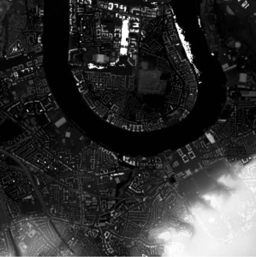
There is also the option of utilising the Environmental Agency’s LIDAR (Light Detection & Ranging) data, made available under Open Government license.
With the aid of open-sourced software like QGIS and OS Opendata, 3D building models can be extracted (see Figure 4).
However, the procedure is not simple. It involves other software, data from various sources, trial and error, fine-tuning, etc. A simpler solution is required.
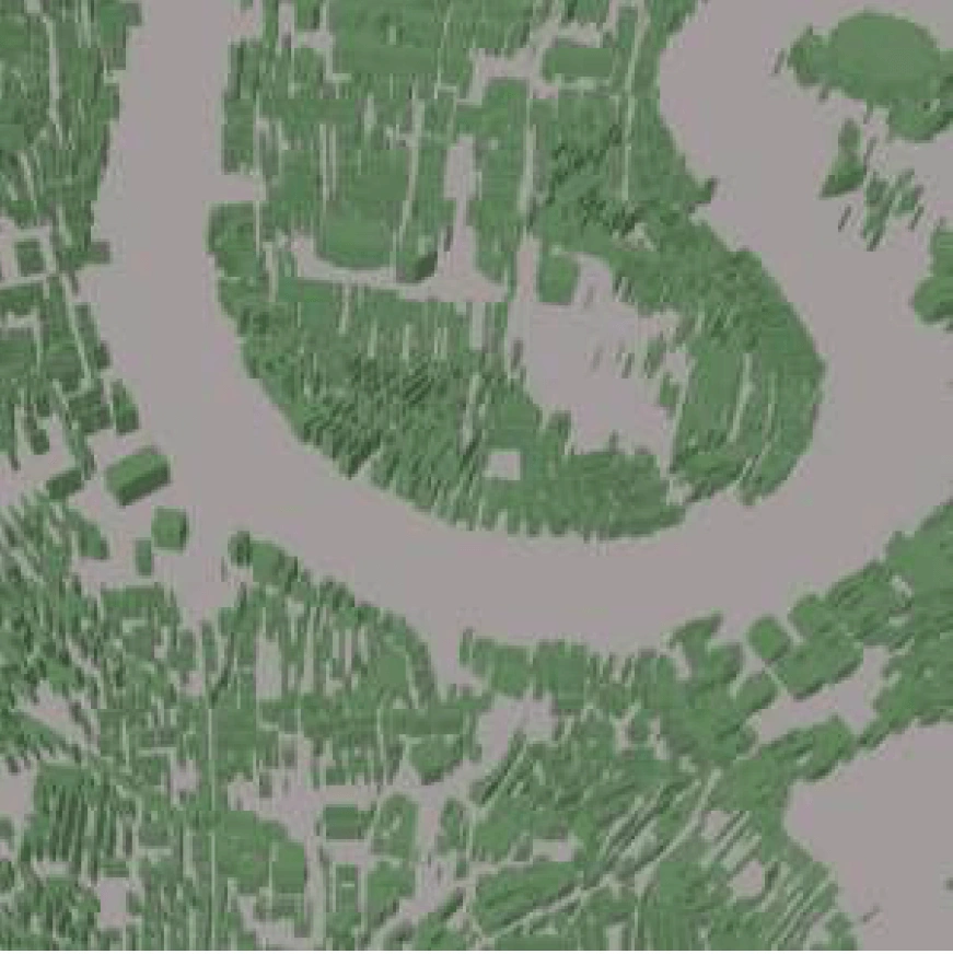
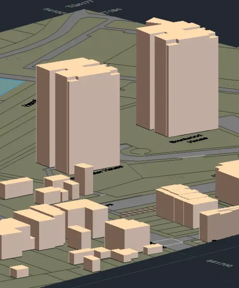
OS maps are now available with building height data. The Building Height Attribute is described as a ‘product enhancement to OS MasterMap® Topography Layer’.
The files are available in common file formats (e.g. DWG) allowing for easy import into the user’s software of choice (see Figure 5).
According to Ordnance Survey: “The heights are calculated by a fully automatic process that uses remotely sensed data, including aerial imagery and digital surface and terrain models (the same that are used to produce the OS Terrain 5 and 50 products). Attribution is provided for the ground level, the base of the roof (which can be thought of as being similar to eave height), and the highest part of the roof for each building.”
This is the simplest solution to providing the designer with 3D building data from the outset. It is also from a single source. As with all sources based on historical data, it should be checked against the current landscape.
How can Building Heights be used in architecture?
1. Aesthetic Expression and Identity
Building heights have a profound impact on the visual identity and architectural expression of a structure. Height is frequently used by architects to make a statement or to create a memorable landmark. Iconic skyscrapers such as Dubai's Burj Khalifa and New York City's Empire State Building are good examples. These buildings' unique height not only distinguishes them but also shapes the character of the city's skyline.
2. Building Height and Functionality
Building height is an important factor of space optimisation. diverse heights are used by architects to accommodate diverse functions within a structure. In a mixed-use development, for example, ground floors may have higher ceilings to accommodate retail spaces or public facilities, while upper levels may have lower ceilings to accommodate residential apartments. Architects may guarantee that each region fulfils its intended purpose effectively by altering heights.
3. Urban Density and Contextual Integration
Architects examine building heights in urban planning to achieve the required level of urban density while remaining in harmony with the surrounding surroundings. Architects guarantee that new structures match the existing urban fabric by conforming to zoning restrictions and contextual indications. This strategy contributes to the preservation of a balanced urban environment in which large buildings coexist peacefully with lesser ones, protecting views and preventing overpopulation.
4. Environmental Efficiency and Sustainability:
The height of a structure can have an impact on its energy efficiency and sustainability. Taller structures can use available land more efficiently, decreasing urban sprawl and the need for large transit networks. Height is also used by architects to optimise natural light and ventilation. Taller structures may include atriums, courtyards, or novel facade designs to increase daylight penetration and lessen dependency on artificial lighting and climate control systems.
Furthermore, architects frequently add green building technology into higher structures, such as vertical gardens, solar panels, and rainwater collecting systems, to improve sustainability and reduce environmental effect.
To view and download DWG, DXF and other formats of mapping for 3D projects use MapServe®.
