Access to accurate and detailed maps is essential for architects, urban planners, and various other professionals. Several platforms offer free previews of UK CAD maps, but they come with certain limitations when compared to more comprehensive services like MapServe. Here’s a look at some of these options and their drawbacks.
1. CAD Mapper
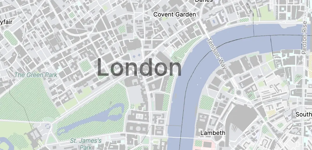
CAD Mapper is a popular tool for quickly generating base maps of cities worldwide, including the UK. It’s especially useful for design and planning.
-
Pros:
- Free for small areas (up to 1km²).
- Provides 3D building data and street layouts.
- Direct export to CAD formats like DWG.
-
Cons:
- Limited to urban areas; not ideal for detailed rural mapping.
- Larger areas require a paid subscription.
- Data might not always be up-to-date.
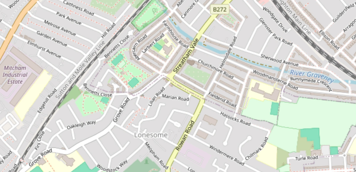
2. OpenStreetMap (OSM)
OpenStreetMap is a collaborative project offering free geographic data. The data can be converted into CAD formats using various tools.
-
Pros:
- Completely free and covers a wide area.
- Continuously updated by a global community of contributors.
- Can be converted to various formats, including CAD.
-
Cons:
- Data quality varies depending on the area.
- May lack the detail and accuracy needed for professional use in some regions.
- Requires additional tools to convert data to CAD.
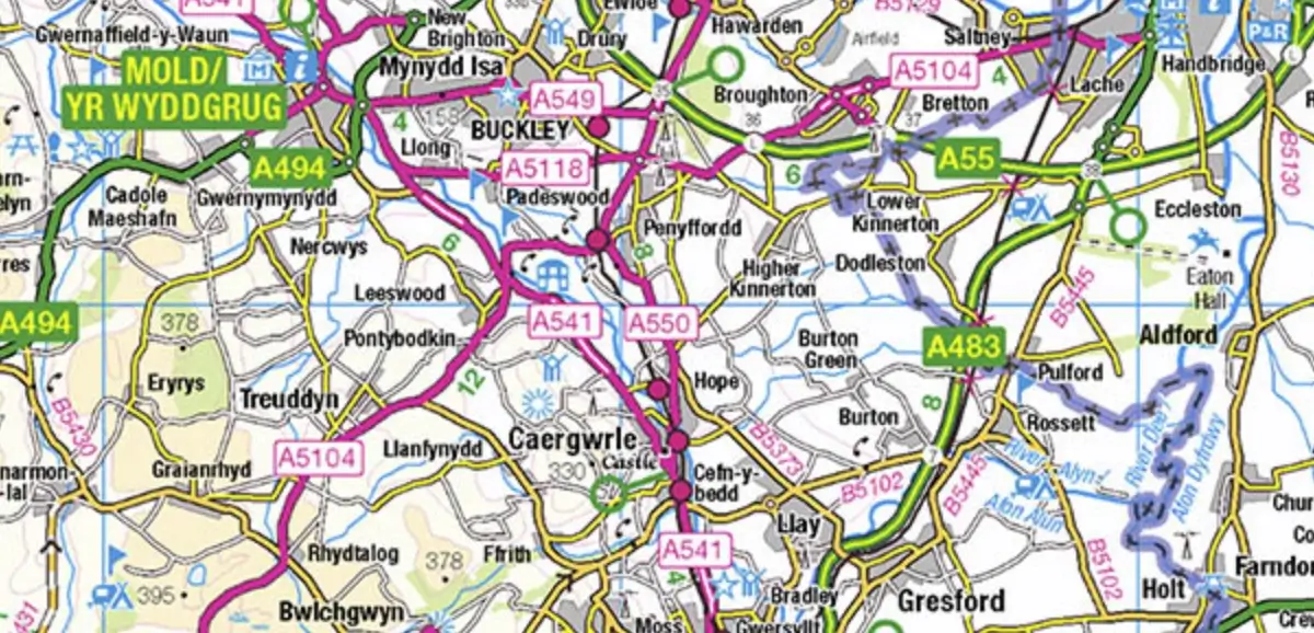
3. OS OpenData
The OS OpenData initiative by Ordnance Survey provides various free datasets, including terrain and road maps, which can be used to generate CAD maps.
-
Pros:
- Free access to a variety of geographic datasets.
- Reliable source from the national mapping agency.
- Useful for a broad range of applications.
-
Cons:
- Limited detail compared to commercial datasets.
- Not as frequently updated as other premium services offering mapping.
- Requires knowledge of GIS software to convert data to CAD.
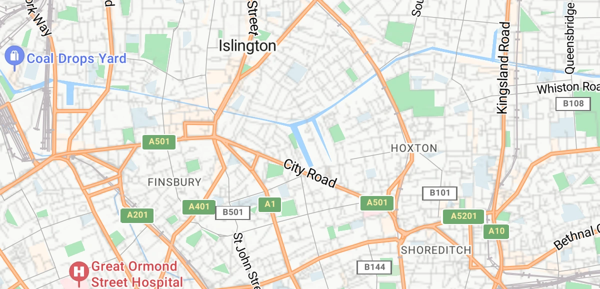
4. Bing Maps
Bing Maps allows users to preview OS maps for free at different scales, such as 1:50,000 and 1:25,000. It’s a handy tool for quick access to geographic data.
-
Pros:
- Free access to detailed OS maps.
- User-friendly interface.
- Good for quick look-ups and basic planning.
-
Cons:
- Limited functionality compared to dedicated mapping services.
- Not designed for direct CAD export.
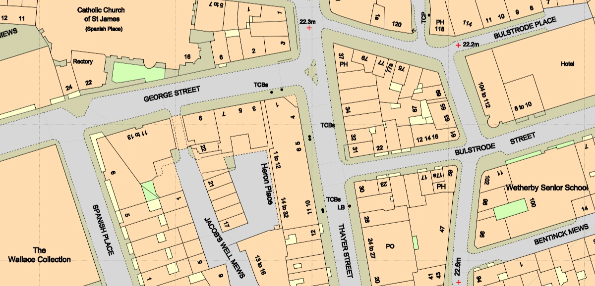
5. MapServe®
While the above resources provide free access to CAD maps, MapServe® offers a professional solution that addresses the drawbacks associated with free maps.
-
Pros:
- Detailed Larger Scale Maps: Provides high-detail maps suitable for professional use.
- Up-to-Date Information: Regular updates ensure the data is current and reliable.
- Multiple Layers: Includes various layers such as building heights, contours, freehold boundaries, and more.
- Professional Formats: Maps are available in formats like DWG, DXF, PNG, and PDF.
-
Cons:
- Viewing maps is free, but downloading detailed data requires a fee.
- Addressed to professionals, which might not be suitable for non professional users, however if you have CAD knowledge they are easy to use. PDF and PNG options are available for non professional users.
Evaluating Free CAD Map Previews
Access to free CAD map previews is invaluable for various professionals, including architects and urban planners. However, while these resources provide a good starting point, they often come with limitations that might affect their usefulness in professional settings.
Balancing Convenience and Accuracy
While free services such as CAD Mapper and OpenStreetMap offer significant convenience, they often lack the comprehensive detail and regular updates required for precise planning and development. These limitations can lead to inaccuracies in project assessments and potential delays.
The Importance of Comprehensive Mapping
For projects requiring high accuracy and detailed data, professional mapping services like MapServe® offer a more reliable solution. With regularly updated datasets and multiple layers of information, these services ensure that professionals have access to the most current and precise data available, ultimately saving time and reducing costs in the long run.
Real-World Applications
In real-world applications, the accuracy of mapping data can make a substantial difference. For example, in urban development projects, precise maps are crucial for site analysis, infrastructure planning, and compliance with regulatory standards. This level of detail ensures projects are completed efficiently and within budget.
Conclusion
When choosing between free previews and professional services, it's essential to weigh the pros and cons carefully. While free tools are excellent for preliminary exploration, professional mapping solutions provide the depth and accuracy necessary for detailed planning and execution.
Several options are available, each with its strengths and weaknesses. Tools like CAD Mapper, OpenStreetMap, OS OpenData, and Bing Maps provide useful resources but often lack the detail, accuracy, and up-to-date information required for professional projects that Ordnance Survey professional mapping can provide. MapServe® offers comprehensive, regularly updated maps with multiple layers, making it an invaluable resource for professionals needing high-quality mapping data.